
Trekking
Jomolhari Trek
A high-altitude trek beneath Jomolhari, with a rest and exploration day at Jangothang base camp.
The journey
A closer look
A high-altitude trek beneath Jomolhari, with a rest and exploration day at Jangothang base camp.
- 01Paro
- 02Shana
- 03Soi Thangthangka
- 04Jangothang
Along the way
Journey highlights
- Taktsang acclimatization hike
- Jangothang base camp at 4,050 m
- High mountain scenery and remote valleys
- Trek exit at Shana
Day by day
The journey
Follow the route one day at a time.
Day 1 of 10
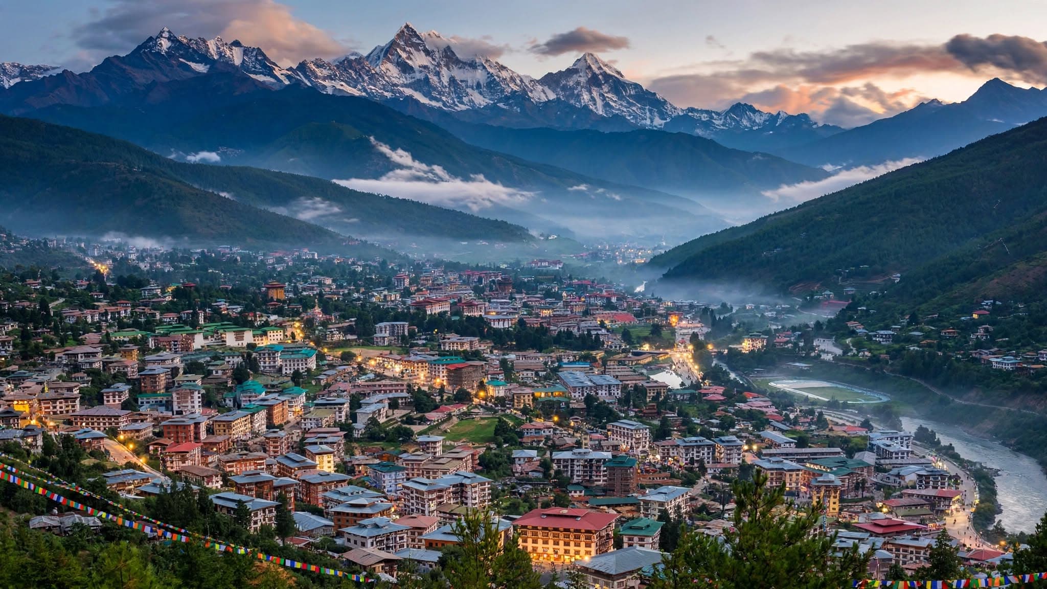
Day 1—Arrive in Paro
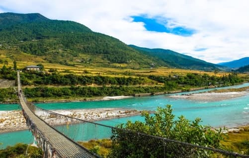
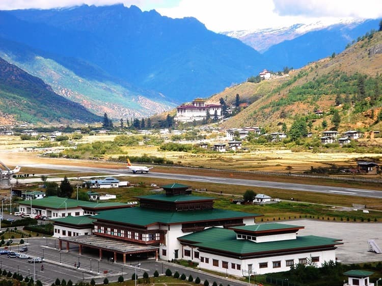
Arrive in Paro on a scenic flight. The itinerary describes the valley, rivers, villages, traditional bridges, and prayer flags, with time to settle in and take in the surroundings.
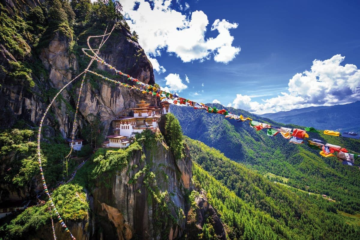
Day 2—Hike to Taktsang (Tiger’s Nest)
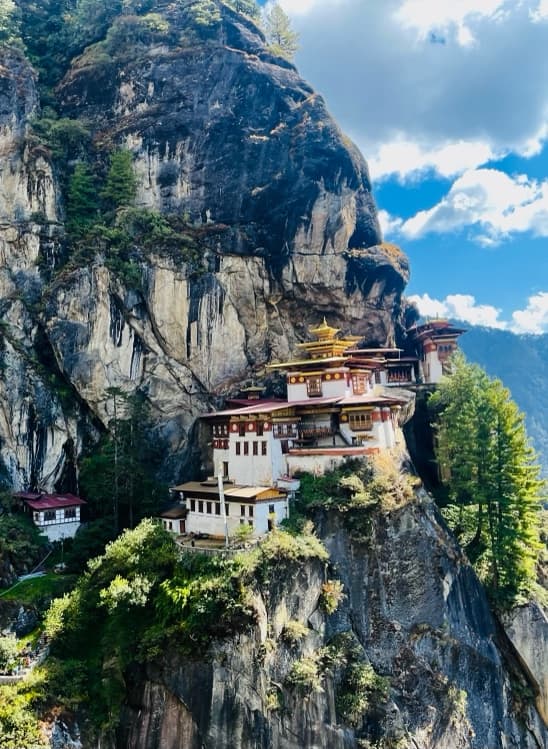
Hike through pine and rhododendron forest, past streams and waterfalls, to Taktsang Monastery on the cliff above Paro Valley. The itinerary describes the monastery’s association with Guru Rinpoche and the views from trail viewpoints.
Day 3—Drukgyel Dzong to Shana · trek begins · 2,820 m
Begin the trek at the ruins of Drukgyel Dzong (2,820 m) and follow the river past hamlets, stone houses, and terraced fields. Cross wooden bridges and blue-pine forest to Shana, the first campsite.
Day 4—Shana to Soi Thangthangka · 3,750 m
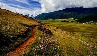
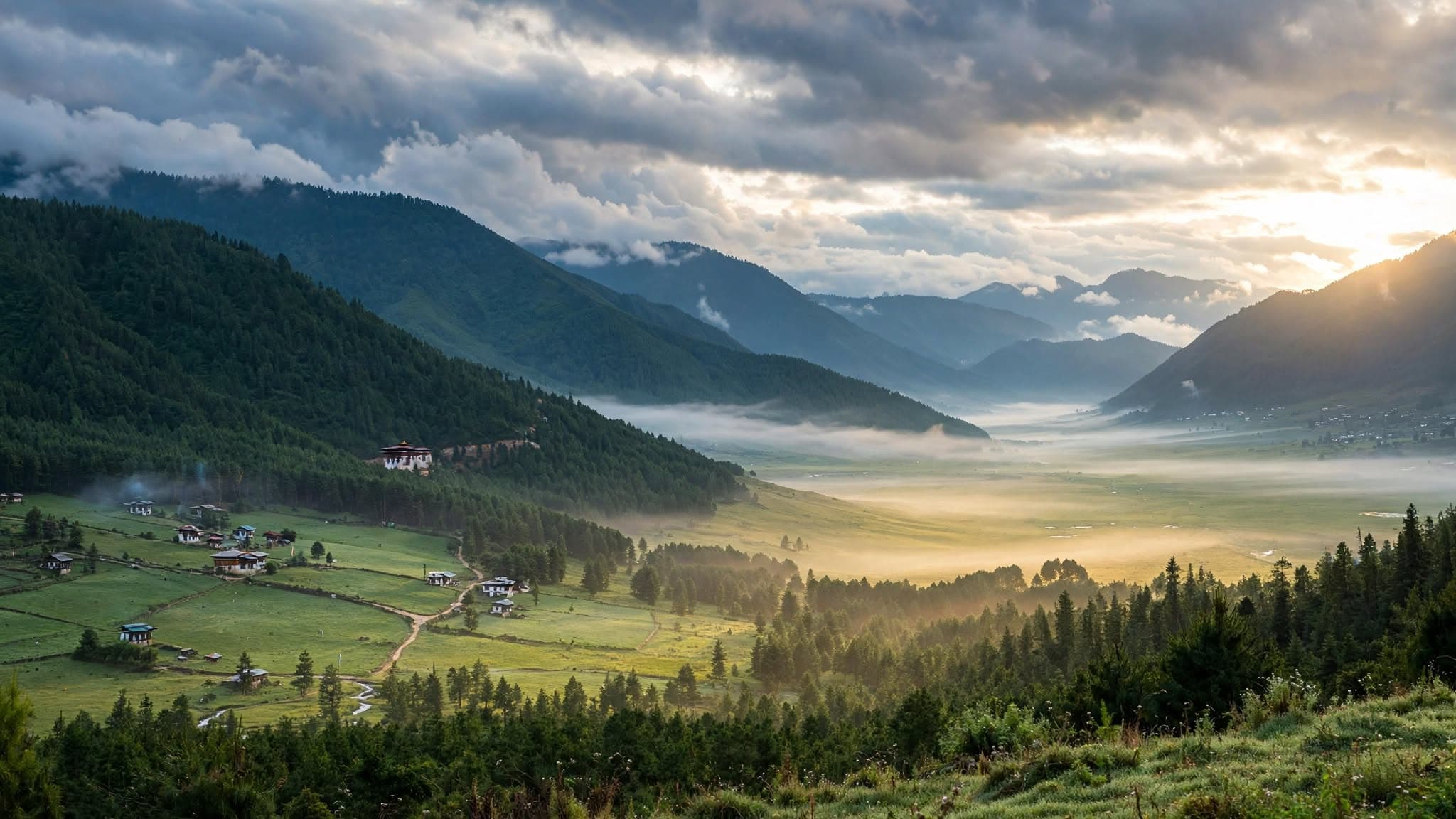
Trek through a valley of rhododendron, oak, and birch, climbing from forest toward alpine meadows. Streams and bridges follow the trail; as the valley narrows, Mount Jomolhari comes into view. Camp at Soi Thangthangka (3,750 m).
Day 5—Soi Thangthangka to Jangothang base camp · 4,050 m
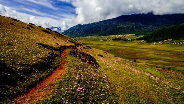
Continue through alpine meadows and yak-grazing grounds beside the river. The itinerary notes occasional herder tents and possible blue-sheep or marmot sightings. Arrive at Jangothang Base Camp (4,050 m), beneath Jomolhari and Jichu Drakey.
Day 6—Jangothang acclimatization and exploration
Use the day to acclimatize with gentle walks toward the Tshophu Twin Lakes. The itinerary describes alpine flowers, mountain views, and possible blue-sheep and marmot sightings around Jangothang.
Day 7—Jangothang to Dhumzo Chhu / Chorapang · 3,800 m
Cross Bonte La (4,890 m), the route’s highest point, with views toward Basingthang Peaks, Chatarake, and Kanchenjunga. Descend into Soi Yaksa Valley past herder tents, streams, and small lakes to Dhumzo Chhu / Chorapang (3,800 m).
Day 8—Dhumzo Chhu to Thombu Shong · 4,150 m
Climb through rhododendron and oak forest into alpine meadows, crossing Dhunge La (4,700 m) and Tagulun La (4,540 m). The itinerary lists views of Jomolhari, Jichu Drakey, Kanchenjunga, and Makalu before descent to Thombu Shong (4,150 m).
Day 9—Thombu Shong to Shana · trek ends · 2,820 m
Cross Thombu La (4,270 m) and descend through rhododendron forest and open meadows to Shana (2,820 m), where the trek ends.
Day 10—Departure
After breakfast, transfer to the airport for departure. The itinerary does not give a transfer distance or specify an overnight location for the final night.
Trekking