
Trekking
Snowman Trek
A long high-altitude route through Laya, remote mountain camps and the Gangkar Puensum region.
The journey
A closer look
A long high-altitude route through Laya, remote mountain camps and the Gangkar Puensum region.
- 01Paro
- 02Laya
- 03Thanza
- 04Gangkar Puensum base camp
- 05Bumthang
Along the way
Journey highlights
- High passes including elevations above 5,000 m
- Remote Laya and highland settlements
- Gangkar Puensum base camp region
- Dur Tshachu hot springs
Day by day
The journey
Follow the route one day at a time.
Day 1 of 26
Day 1—Arrive in Paro
Arrive in Paro on a scenic flight, meet the representative, and transfer to the hotel. After lunch, visit Drukgyel Dzong, described in the itinerary as a 1644 fortress commemorating a victory over Tibetan invaders, then visit Kyichu Lhakhang. Dinner and overnight in Paro.
Day 2—Day hike to Taktsang Monastery
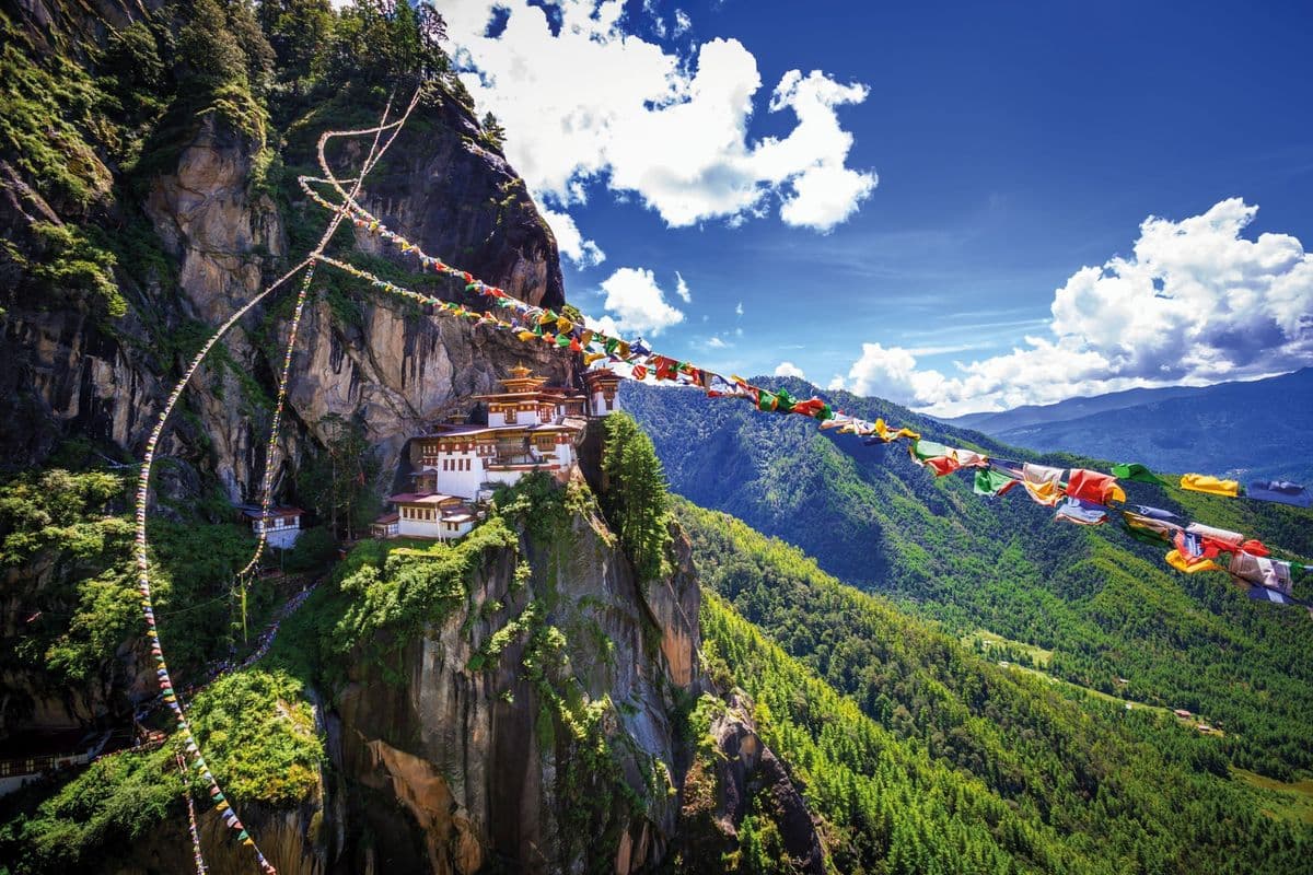
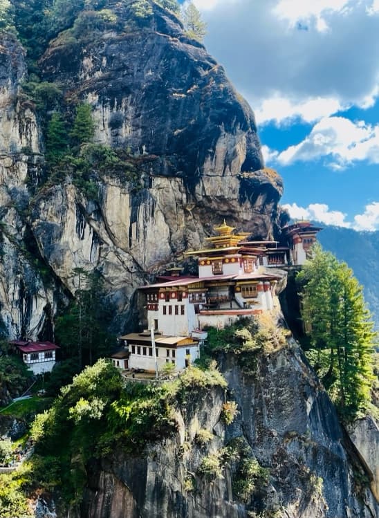
Visit Ta Dzong National Museum and Rinpung Dzong, then hike the two-to-three-hour uphill trail to Taktsang Monastery. The itinerary places the monastery about 800 m above Paro Valley and describes its pine-forest route and association with Guru Padmasambhava. Dinner and overnight in Paro.
Day 3—Thimphu to Punakha
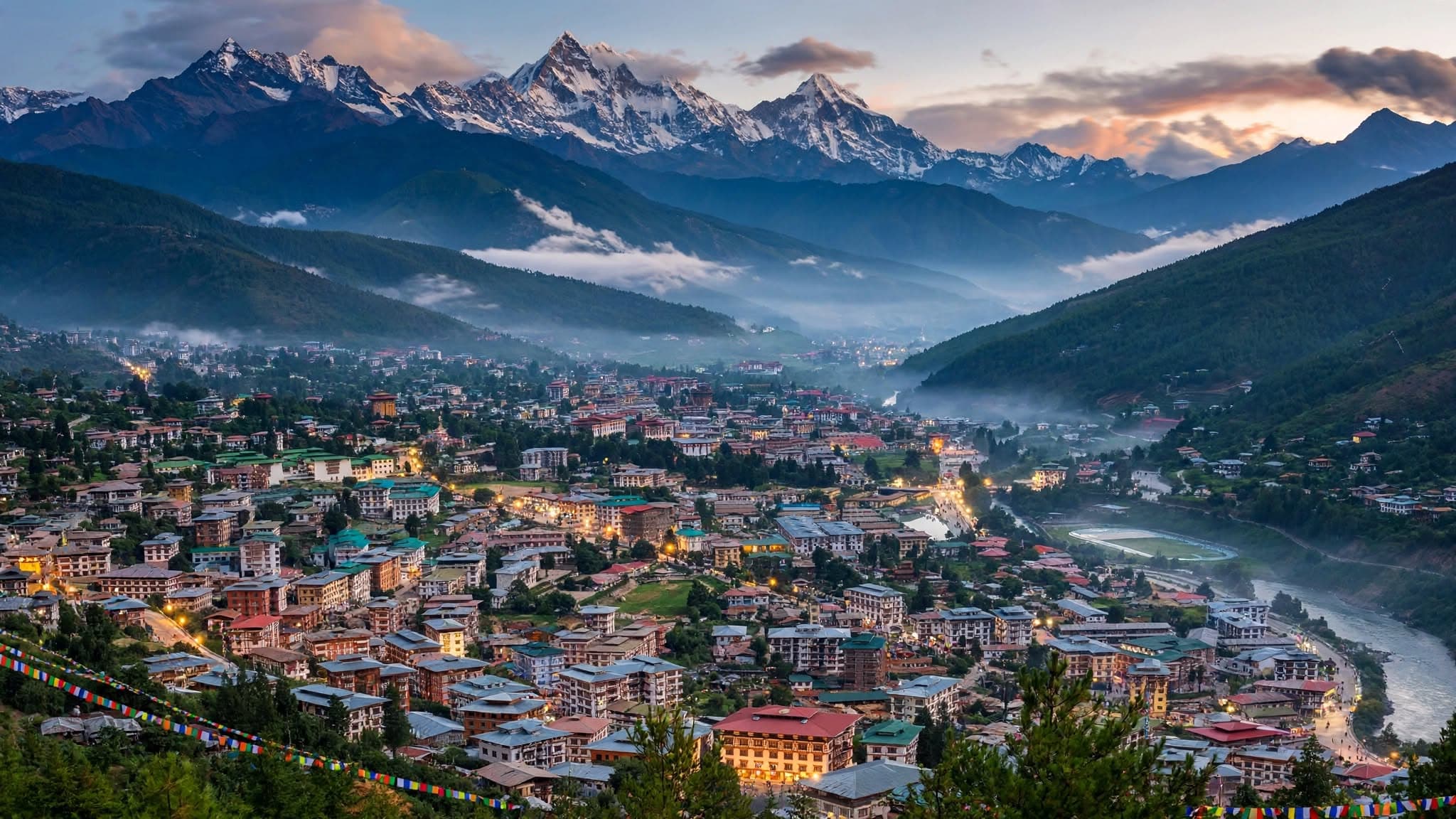
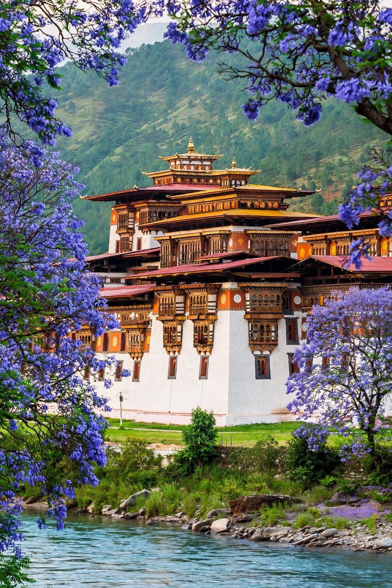
The itinerary schedules a drive from Thimphu to Punakha (about 1,250 m), crossing Dochula Pass at 3,100 m and its 108 chortens. In Punakha, visit Punakha Dzong at the Pho Chhu–Mo Chhu confluence and take a gentle countryside hike to Chimi Lhakhang. The itinerary does not explain how the tour gets from Paro to Thimphu between Days 2 and 3; confirm this transfer.
Day 4—Punakha to Damji
Drive to Tashithang, where the trek starts. Follow the river through subtropical rhododendron, oak, and bamboo forest, passing villages and terraced farms to Damji (2,400 m). Camp at Damji.
Day 5—Damji to Gasa
Continue along the river through pine and oak forest, remote hamlets, and hillside farms, climbing toward Gasa Dzong on its ridge. The itinerary lists nearby natural hot springs as an optional visit. Camp near Gasa (2,900 m).
Day 6—Gasa to Koina
Trek through forest, streams, and yak-herder camps toward the remote highlands. The route climbs and descends before reaching Koina (3,050 m), a campsite beside a mountain stream.
Day 7—Koina to Laya
Climb through alpine forest and meadows to Laya (3,800 m), a highland village known for traditional bamboo houses and Layap culture. Camp at Laya.
Day 8—Rest day at Laya
Rest and acclimatize in Laya. The itinerary suggests exploring the village, meeting Layap residents, visiting the local school, or taking in views of Masagang. Camp at Laya.
Day 9—Laya to Rhoduphu
Follow the river valley through open pasture, yak-herder camps, and alpine meadows to Rhoduphu (4,350 m). Camp among the high mountain scenery.
Day 10—Rhoduphu to Narethang · 4,900 m
Climb through high-altitude terrain, past rugged cliffs and glacial streams, toward Narethang (4,900 m). The itinerary notes views of Gangla Karchung and surrounding peaks. Camp at Narethang.
Day 11—Narethang to Tarina
Ascend to Gangla Karchung Pass (5,120 m) for mountain views, then descend toward turquoise glacial lakes and rolling pastures to Tarina (3,970 m). Camp beside the river.
Day 12—Tarina to Woche
Follow the river through forest and across streams, climbing gently to Woche (3,800 m), identified in the itinerary as the first village in Lunana. Camp at Woche.
Day 13—Woche to Lhedi
Cross a small pass and descend along the Rhodu Chu through a valley of stone houses and yak-herder camps to Lhedi (3,700 m). The itinerary notes views of Table Mountain and Tseri Gang. Camp at Lhedi.
Day 14—Lhedi to Thanza
Follow the glacial river to Chozo Village, where the itinerary says an ancient dzong can be visited, then continue to Thanza (4,000 m), one of Lunana’s larger settlements. Camp at Thanza.
Day 15—Rest day at Thanza
Take a rest and acclimatization day in Thanza. Explore the village, meet local residents, or rest; the itinerary mentions views of Table Mountain and an optional walk to nearby ridges. Camp at Thanza.
Day 16—Thanza to Tshorim · 5,120 m
Resume the trek across open meadows and rocky high-altitude terrain to Tshorim (5,120 m). The itinerary describes mountain and glacier-valley views and camping beside Tshorim Lake.
Day 17—Tshorim to Gangkar Puensum base camp · 4,970 m
Climb to Tshorim Pass (5,240 m), then descend to Gangkar Puensum Base Camp (4,970 m). The itinerary identifies Gangkar Puensum as Bhutan’s highest peak and describes views of glaciers and surrounding ranges. Camp at base camp.
Day 18—Base camp to Geshe Woma
Descend along the river valley through alpine scenery and snow-fed streams, crossing open meadows and occasional yak-herder camps to Geshe Woma (4,200 m). Camp there.
Day 19—Geshe Woma to Warathang
Continue through rugged ground, river crossings, and forested sections to Warathang (4,000 m). Camp among the pine forest.
Day 20—Warathang to Dur Tshachu
Cross Uli La Pass (4,280 m), then descend through rhododendron forest to Dur Tshachu (3,590 m). The itinerary names the natural hot springs as an opportunity to rest after the trek. Camp at Dur Tshachu.
Day 21—Dur Tshachu to Tshochenchen
Climb gently through forested hills and open meadows to Tshochenchen (3,850 m), the final wilderness campsite named in the itinerary.
Day 22—Tshochenchen to Dur; drive to Bumthang
Descend through fir, juniper, and rhododendron forest to Dur Village, then drive to Bumthang (2,600 m). Overnight in Bumthang.
Day 23—Bumthang sightseeing
Visit Bumthang’s sacred sites, including Jakar Dzong, Kurjey Lhakhang, and Jambay Lhakhang, then spend time in town or at local handicraft shops. Overnight in Bumthang.
Day 24—Bumthang to Paro (domestic flight)
Take the domestic flight from Bumthang to Paro. The itinerary suggests free time in Paro town for shopping or a café visit. Overnight in Paro.
Day 25—Excursion to Tiger’s Nest
Hike to Taktsang Monastery (Tiger’s Nest), described in the itinerary as a cliffside site about 900 m above the valley. Return to Paro for a farewell dinner. Overnight in Paro.
Day 26—Departure
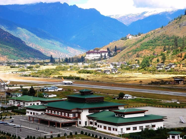
After breakfast, transfer to Paro International Airport for departure. The guide and driver bid guests farewell.
Trekking