
Trekking
Laya-Gasa Trek
A long route across alpine meadows, high passes, remote Laya villages and Gasa hot springs.
The journey
A closer look
A long route across alpine meadows, high passes, remote Laya villages and Gasa hot springs.
- 01Paro
- 02Shana
- 03Jangothang
- 04Laya
- 05Gasa
- 06Punakha
Along the way
Journey highlights
- 217 km expedition through varied landscapes
- Remote Laya village and Layap culture
- High-altitude passes and mountain scenery
- Gasa hot springs
Day by day
The journey
Follow the route one day at a time.
Day 1 of 17
Day 1—Arrival in Paro (2,250 m)
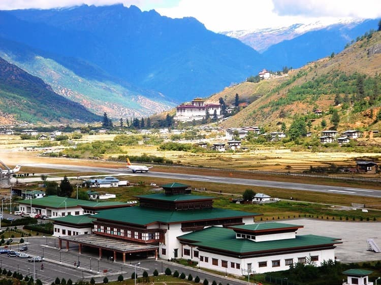
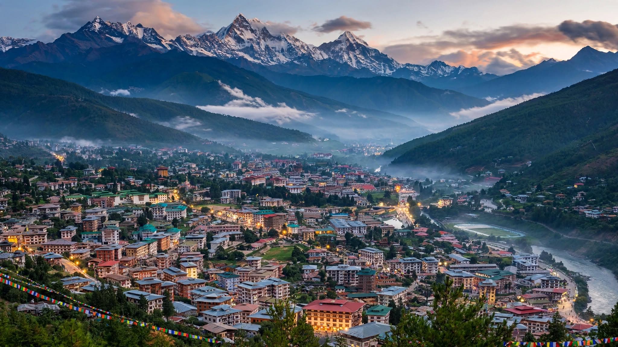
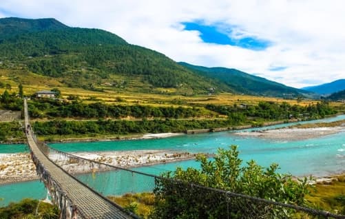
Arrive in Paro at about 2,250 m. Visit Rinpung Dzong, cross the traditional wooden bridge, and visit Kyichu Lhakhang; the itinerary also describes time in Paro town. Overnight details are not stated in this trekking itinerary.
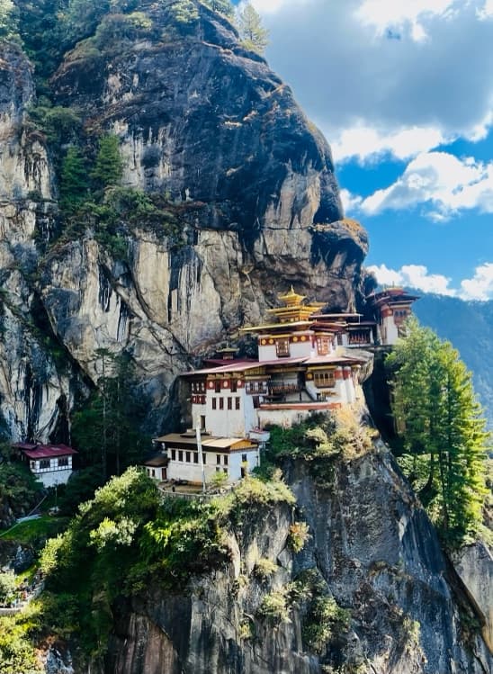
Day 2—Acclimatization hike to Tiger’s Nest (3,180 m)
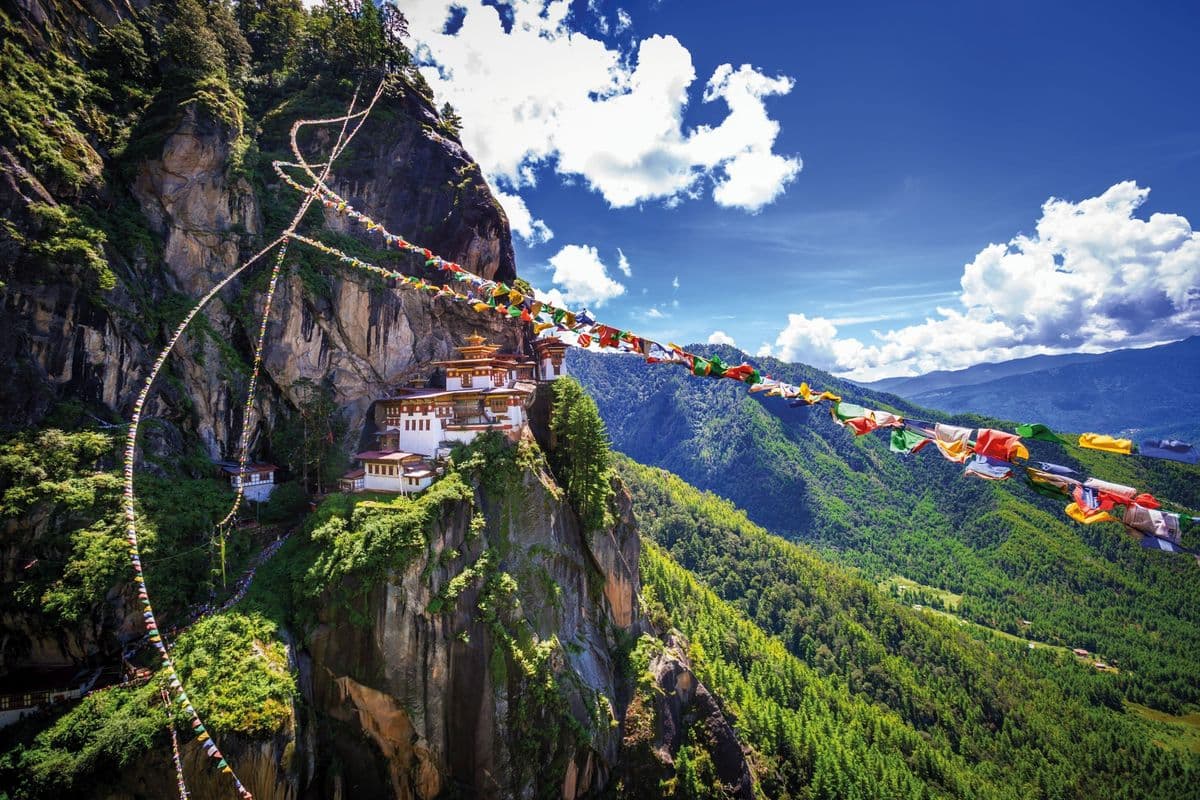
Hike to Taktsang Monastery at about 3,180 m for acclimatization. The itinerary describes the cliffside monastery, Paro Valley views, pine forest, streams, and a visit to Kyichu Lhakhang on the return route.
Day 3—Drukgyel Dzong to Shana · 17 km / 5–6 hours
Start trekking at Drukgyel Dzong (about 2,300 m). Descend past rice terraces, millet fields, orchards, and villages to Shana (about 2,850 m). The itinerary estimates 17 km and five to six hours.
Day 4—Shana to Sio Thangthangkha · 21 km / 6–7 hours
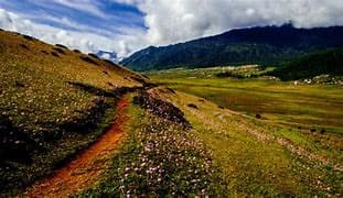
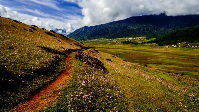
Trek 21 km in about six to seven hours, gradually climbing through alpine meadows, rhododendron forest, streams, and wildflowers to Sio Thangthangkha (3,750 m). The itinerary notes Jomolhari views in clear weather.
Day 5—Sio Thangthangkha to Jangothang · 19 km / 4–5 hours
Trek about 19 km in four to five hours up the widening Paro Chhu valley, passing checkpoints, yak-herder settlements, and the villages of Sio, Takethang, and Dangochang. Reach Jangothang (4,050 m), with Jomolhari and Jichu Drake in view.
Day 6—Jangothang rest day
Rest and acclimatize at Jangothang. The itinerary suggests an excursion to Tsophu Lake or shorter walks in the alpine meadows, with possible blue-sheep sightings.
Day 7—Jangothang to Lingshi · 19 km / 6–7 hours
Cross Ngye La (4,830 m), with views of Jomolhari, Jichu Drake, and Tshering Gang. Descend past herder camps and meadows to Lingshi campsite (4,100 m), below Lingshi Dzong. About 19 km / six to seven hours.
Day 8—Lingshi to Chebisa · 12 km / 5–6 hours
Trek about 12 km in five to six hours. An optional climb visits Lingshi Dzong (4,220 m); continue through villages and yak pastures, crossing streams and passing the Chebisa waterfall before reaching camp.
Day 9—Chebisa to Shomuthang · 17 km / 5–6 hours
Climb from Chebisa through pastureland to Gobu La (4,420 m), then descend into the Shakshepasa valley beside the river. The itinerary notes yak and herder camps and possible blue sheep. Reach Shomuthang (4,130 m) after about 17 km / six to seven hours.
Day 10—Shomuthang to Robluthang · 15 km / 5–6 hours
Climb through alpine meadows and pine groves to Jhari La (4,750 m), with views of Kang Bum and Gangchhenta. Descend to Robluthang campsite (4,160 m), about 15 km / five to six hours.
Day 11—Robluthang to Lingmithang · 19 km / 7–8 hours
A challenging 19 km / seven-to-eight-hour day to Shingela Pass (5,010 m). Descend across glacial moraine to a lake, cross the Kango Chhu, and reach Lingmithang (4,140 m), beneath Gangchhenta.
Day 12—Lingmithang to Laya · 10 km / 3–4 hours
Trek 10 km in three to four hours through mossy forest and mountain streams to Laya (3,850 m), described in the itinerary as Bhutan’s second-highest settlement. The day includes time to encounter Layap culture and traditional dress.
Day 13—Laya to Koena · 19 km / 6–7 hours
Follow the Mo Chhu, cross wooden bridges, and pass through juniper and fir forest to Koena (3,800 m). About 19 km / six to seven hours.
Day 14—Koena to Gasa · 19 km / 6–7 hours
Cross Barila La (4,100 m) and descend through alpine meadows to Gasa. The itinerary gives about 19 km / six to seven hours and lists a visit to Gasa hot springs before the trek ends.
Day 15—Gasa to Punakha
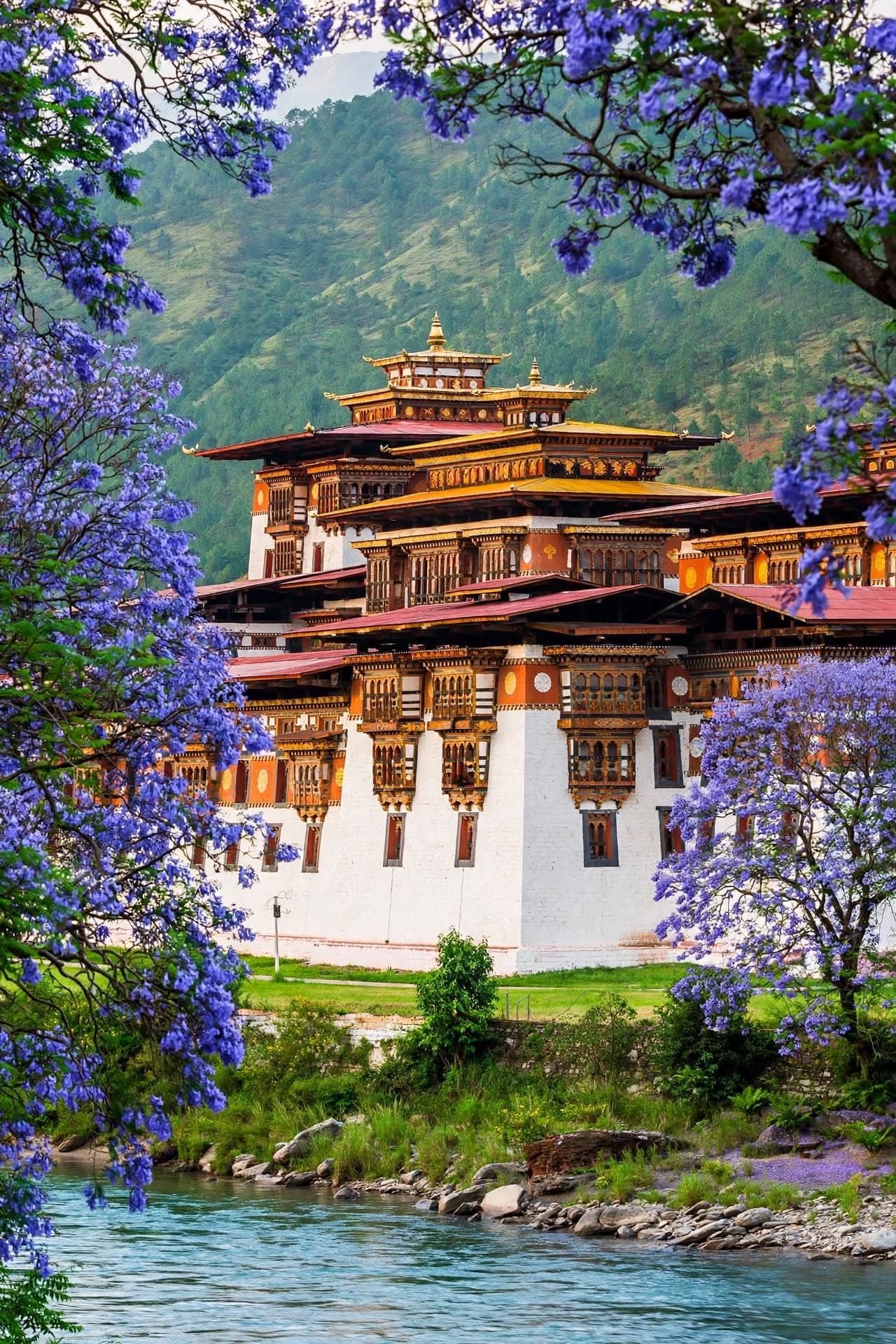
Drive from Gasa through valleys along the Mo Chhu, past terraced fields and banana groves, to Punakha. Visit Punakha Dzong at the confluence of the two rivers; the itinerary does not specify drive time or hotel.
Day 16—Punakha to Thimphu
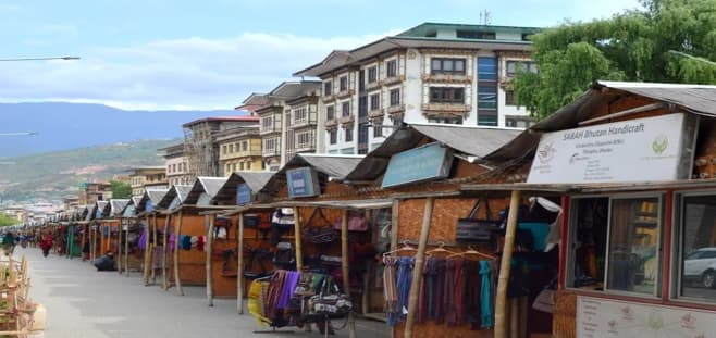
Drive over Dochula Pass toward Thimphu. In the capital, the itinerary names Buddha Dordenma and time to explore city streets and markets; it does not give a detailed schedule or overnight plan.
Day 17—Departure from Paro
Transfer from Paro to Paro Airport for departure. The itinerary does not specify the transfer time or explain the Punakha/Thimphu-to-Paro connection on this day; confirm final routing.
Trekking